Democratic Republic of CongoSalonga National Park
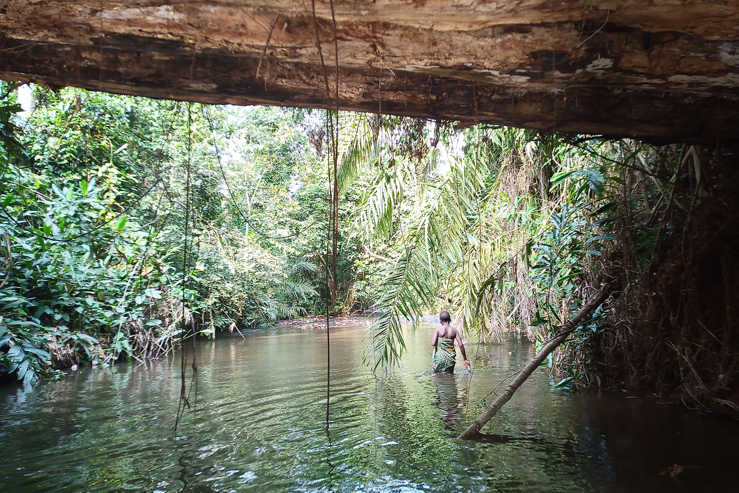
Salonga National Park (PNS) is a UNESCO World Heritage Site located in the heart of the central Congo River Basin. The region is so remote that it is only accessible by sea or air. With an area of 33,676 km2 (about the size of Belgium), it is the largest protected area in Africa. It extends over four provinces of the DRC, namely Tshuapa, Kasaï, Maï Ndombe and Sankuru. Around the park is a priority intervention zone, where the project activities of WWF DRC and its partners take place. It contains 778 villages as well as the urban centers Boende, Oshwé, Kole, Lomela and Dekesse.
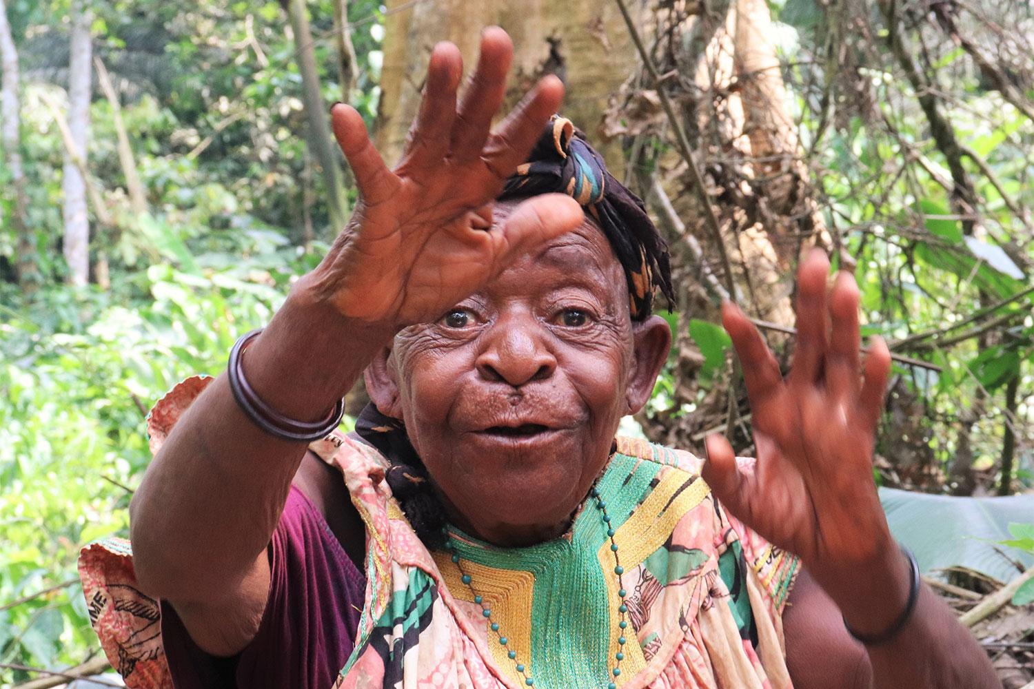
Salonga National Park has been co-managed by the Institut Congolais pour la Conservation de la Nature (ICCN) and WWF DRC since 2016, and around 280,000 people live in the immediate periphery of the park. Although not legal under Congolese law, approximately 5,500 people have lived inside the park for decades, and this, before the creation of the Park, in groups who would probably define themselves as indigenous (the Iyaelima and the Kitawalists) and their presence is generally tolerated by the park authorities given the realities of the environment, although it goes against the law.
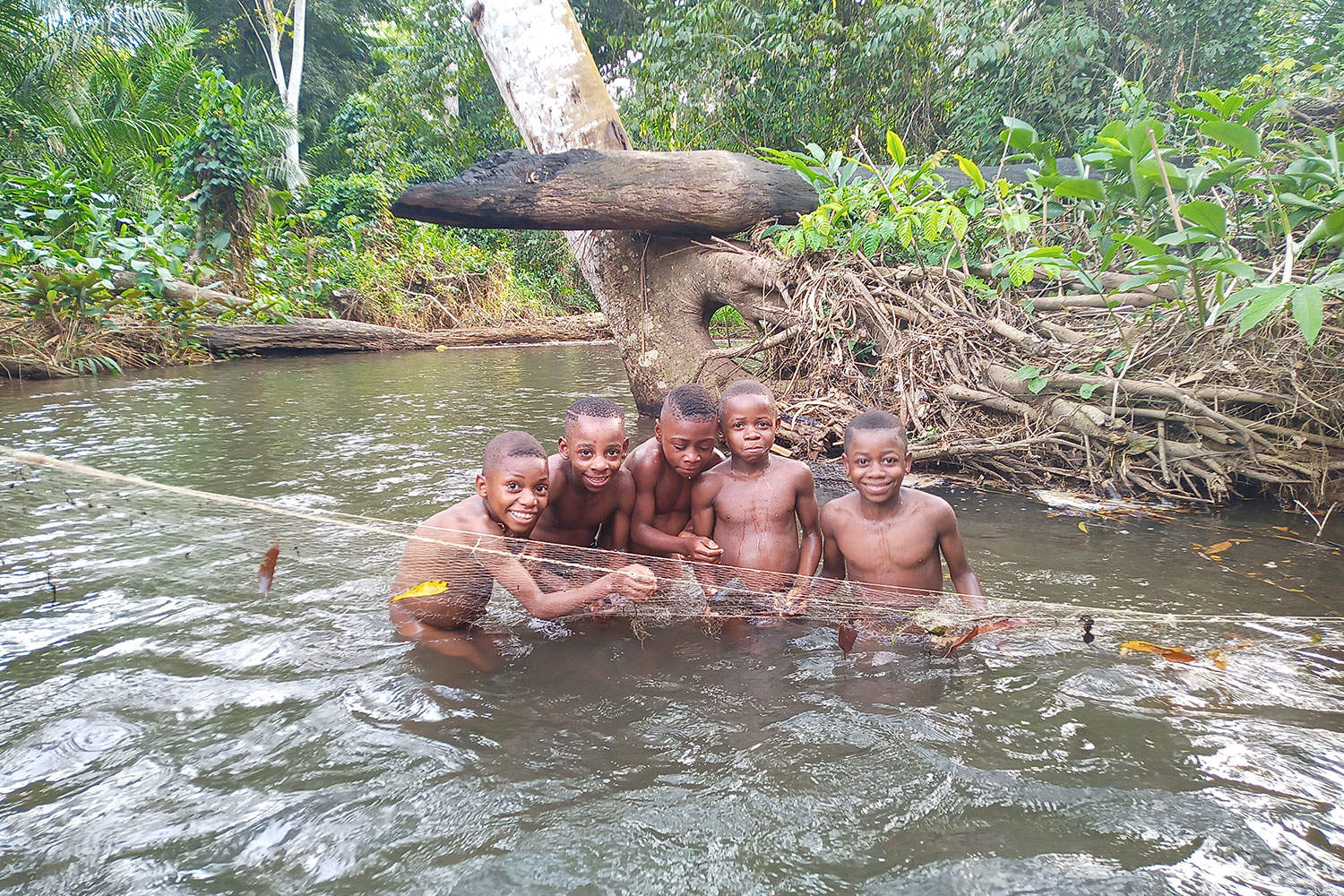
The 778 villages (750 Bantu villages, 25 Twa villages, 3 mixed villages) are scattered in the seven territories located in the four provinces (Monkoto, Bokungu, Ikela, Boende, Oswe, Lomela, Dekese) Human settlements are concentrated in a small network of roads and trails, navigable rivers and shopping malls.


